DOWNLOAD THE LATEST REPORT
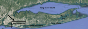
The Hempstead Bay Water Quality Monitoring Program provides a framework for monitoring, analysis, and reporting of water quality within the surface waters of Hempstead Bay (informally known as the Western Bays) and its major tributaries. The program – a collaboration among the Long Island Regional Planning Council (LIRPC), Hofstra University and the Town of Hempstead Department of Conservation and Waterways (ToH C&W) – continues and expands upon the monitoring work that the ToH C&W conducted for nearly five decades in the South Shore of Nassau County.
This monitoring program plays an important role in the Long Island Nitrogen Action Plan (LINAP), a multiyear effort funded by New York State and managed by the New York State Department of Environmental Conservation (NYSDEC) and the Long Island Regional Planning Council to: 1) assess the level of nitrogen pollution in Long Island’s surface waters and groundwater, 2) identify the sources of nitrogen pollution, 3) determine nitrogen reduction ecological endpoints, and 4) take action that will reduce nitrogen loads to groundwater and surface waters.
The water quality data derived from samples collected from strategic locations in Hempstead Bay will provide a baseline against which to evaluate changes to nutrient loading that are expected in the next decade as a result of large-scale ecosystem-based and hard-engineered upgrades in the region (e.g. coastal dune restoration, wastewater treatment plant improvements, etc.). This includes sampling around the South Shore Water Reclamation Facility before major upgrades are completed. The long-term nature of this monitoring work will advance our understanding of the impacts of severe storms, residential and commercial development, and climate change on our water resources.
This program also looks at atmospheric nitrogen deposition which is associated with emissions from fossil fuel-related energy production, fertilizer usage, and transportation emissions. Atmospheric nitrogen deposition is one of the more poorly quantified Nitrogen inputs to the south shore of Long Island. There is a strong need to better quantify this large nitrogen input to Hempstead Bay and the surrounding watershed, in order to reduce uncertainty and better inform nitrogen reduction targets. This information will enhance understanding of what can realistically be accomplished by addressing point sources (such as wastewater treatment plants) alone, considering this large, and likely underestimated non-point source load.
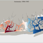
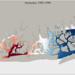
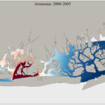
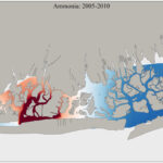
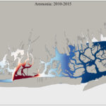
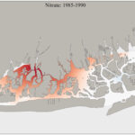
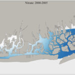
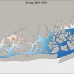
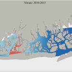
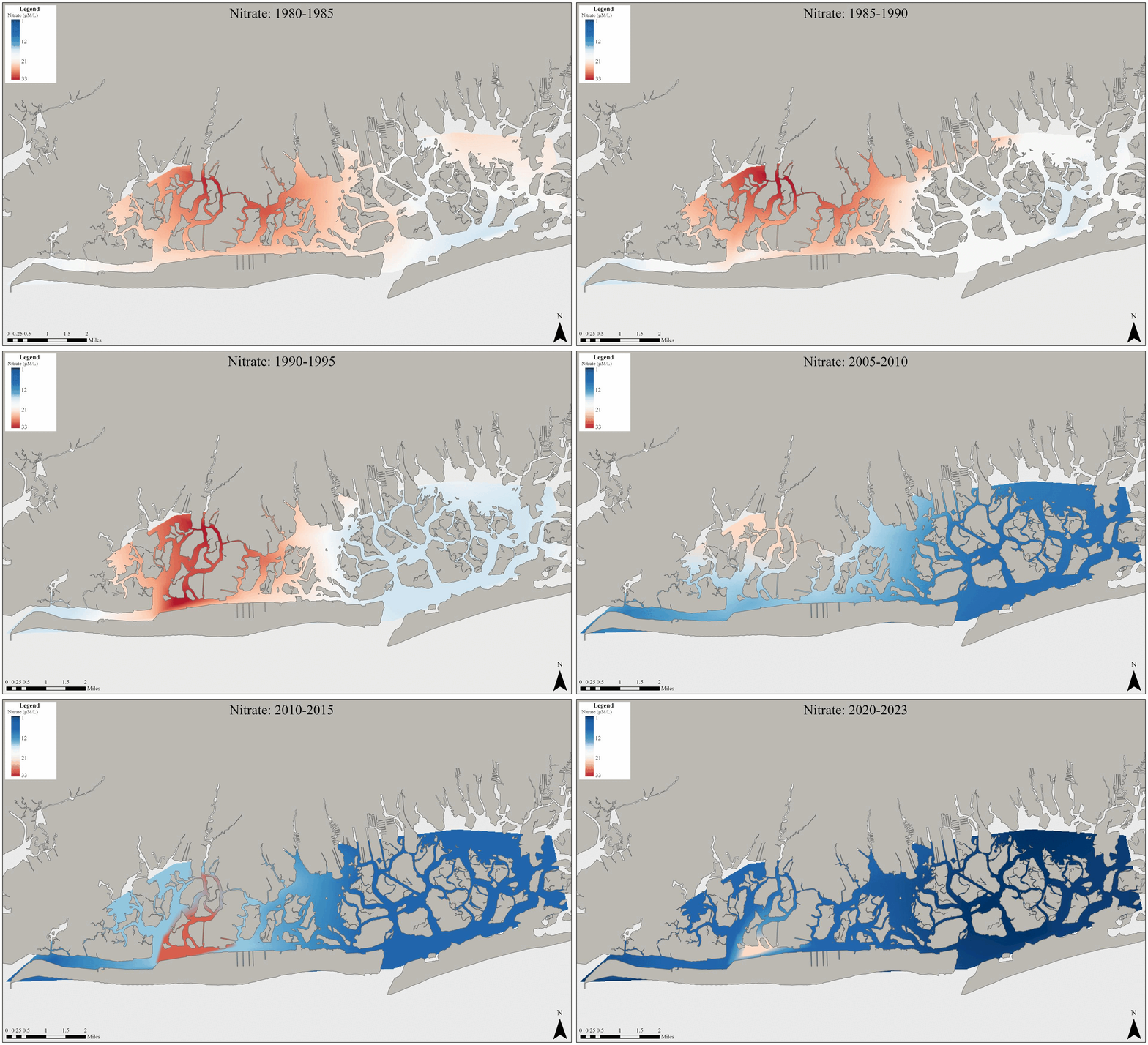
These maps compare conditions prior to 1995 to present data.

Background information:
- Excess nutrients and pathogenic bacteria threaten the environment and the vitality of Long Island’s coastal communities, including within Hempstead Bay (i.e., the South Shore Estuary Reserve Western Bays)
- Water-borne pathogens are a potential danger to public health and lead to the closure of beaches and shellfishing areas.
- Nutrient pollution, particularly from reactive nitrogen compounds, has been associated with the loss of eelgrass beds and salt marshes, low dissolved oxygen concentrations, toxic algal blooms, macroalgal blooms, and harm to shellfisheries. Within Hempstead Bay, we have observed an absence of eelgrass, an overgrowth of Ulva (macroalgae), and periodic low oxygen concentrations at depth.
- Key sources of nutrient pollution include effluent from wastewater treatment plants, urban and suburban development and associated stormwater runoff, atmospheric nitrogen deposition, soil and sediment loss, and groundwater inputs of nutrients that originate from fertilizers or septic systems.
- A number of recent and ongoing initiatives seek to improve water quality in Hempstead Bay. The South Shore Water Reclamation Facility in Bay Park (SSWRF) added Biological Nutrient Removal (BNR) to its secondary treatment systems during 2020 and 2021 and a Sidestream Centrate Treatment project has further reduced nutrient loads in effluent. The Long Beach Water Pollution Control Plant, a smaller WWTP facility in the region, will be converted to a pump station, so its sewage can be rerouted to the SSWRF and benefit from the upgraded treatment operations. Eventually, this effluent will be rerouted to the Cedar Creek Water Pollution Control Plant ocean outfall, which discharges treated effluent approximately three miles offshore. This effort is called the Bay Park Conveyance Project.
Major Findings:
- As one moves westward towards the New York City border, nutrient indicators such as nitrate, nitrite, ammonia, and orthophosphate all generally increase. This is likely due to a combination of nonpoint sources from dense urban development and point sources (mainly wastewater treatment plant discharges) whose magnitude and influence increase from east to west.
- Bay-wide, nitrate and ammonia concentrations have decreased since 1980, indicating an improvement in water quality. The cause of the improvement between 1980 and 2015 requires further exploration but may be related to changes in WWTP effluent. A report by Swanson et al. (2013) suggests that discharge from the SSWRF reached a peak flow in 1984, and then declined considerably from 1989-2010. In recent years, the most striking spatial pattern is the decline in nutrient concentrations in western Hempstead Bay, which contains the SSWRF and the Long Beach Water Pollution Control Plant. Both facilities have been subject to improvement projects aimed at reducing the concentration of nutrients in effluent.
- Total coliform counts, which are an indicator of potential waterborne pathogens, generally remained near 1975 levels until the early-1990s, then declined steadily until the near present. These declines are likely due to a wide range of measures, including improvements to wastewater treatment plants, stormwater medallion and pet waste cleanup programs in the Town of Hempstead, additional pump-out boats and facilities to discourage release of wastewater from vessels.
- While water quality challenges remain, these data provide evidence of an improvement in nutrient and pathogen indicators in recent decades.
Download the Latest Report:
Hempstead Bay Water Quality Monitoring Program In the News:
Hempstead Bay Improving: Levels of Nitrogen, Ammonia Lower; Challenges Remain, Newsday
Conference at Hempstead Marine Lab Highlights Water Quality Improvements in Western Bays, Long Island Herald
~~~~~~~~~~~~~~~~~~~~~~~~~~~~~~~~~~~~~~~~~~~~~~~~~~~~~~~~~~~~~~~~~~~~~~~~~~~
Want to learn more about this monitoring program?
Sampling locations:
- Surface water sampling stations: Forty locations – 30 in the bays and 10 in the tributaries
- Continuous monitoring stations: Three continuous automated monitoring stations (one per bay) with Sea-Bird Scientific WQM instrumentation
- Vertical profile stations: 20 deep water locations within the bays
- Atmospheric deposition-related testing: 12 locations. These locations will factor in the team’s interest in understanding direct-to-bay deposition as well as characterizing the role of major point sources.
Laboratory analysis parameters:
- Water: Chlorophyll a, Total Kjeldhal Nitrogen (TKN), Nitrate, Nitrite, Ammonium, Orthophosphate, Total Coliform, Silica. (TKN analysis provides the opportunity to quantify the amount of nitrogen contained in organic form.]
- Nitrogen Deposition: Nitrate, Ammonium
Field measurement parameters:
- Water characteristics: The following parameters will be recorded using Sea Bird Scientific WQM instruments and, monthly, using YSI Sondes: dissolved oxygen, fluorometric Chlorophyll, salinity/conductivity, temperature, sampling depth, turbidity, and pH (YSI only).
- Surface waters: Readings will be taken at one-meter depth using YSI Sondes at the same locations and time as sample collections for laboratory analysis.
- Vertical profiles: YSI Sondes will be used to measure the aforementioned parameters at an additional 20 deep water locations on a monthly basis. At these locations, measurements will be taken across the entire water column, from the surface to maximum depth.
- Continuous monitoring: TOH C&W will reinstate and expand the continuous monitoring (15-minute interval) data collection program on using the long deployment Sea-Bird Scientific WQM units at three locations within the study area.
Quality Assurance Project Plan:
A Quality Assurance Project Plan (QAPP) for this monitoring program was approved by the NYS Department of Environmental Conservation in December 2019.
A QAPP is a document that outlines the quality assurance and quality control procedures used to ensure that a monitoring program collects high quality data. It is an important planning and operating tool that outlines the project’s methods of data collection, storage and analysis. The QAPP helps to ensure that the data collected can be used for its intended purpose. Importantly, the individuals interested in the monitoring project, or the agencies that make decisions based on the data and information from the project, will have a better understanding of the quality of the underlying data.
Findings:
A report, Water Quality Trends in Hempstead Bay, NY from 1968-2022: An Updated Report for Long Island’s South Shore Estuary Reserve Western Bays compares past water quality with the new data collected under this program.

